
Edina Neighbors by Block Source
Different records answer different questions about the addresses around an Edina block. The city GIS service establishes geography around an address. County mapping and PINS connect that geography to parcel identifiers and property-record categories. The election and association sources are narrower. Neither one is a complete list of households on a block. Treat the results as a sequence of record-specific checks, with the address and PID retained as the stable links between them.
| Source | What It Shows About a Block | Access |
|---|---|---|
| Edina GIS DataLink | Address points, parcel boundaries, recognized-neighborhood, polling, precinct, school, representative, park, and service layers. | Public ArcGIS service with Identify, Query, Find, and Export operations; 2,000-record context. |
| Hennepin GIS and PINS | County parcel context, PID, tax description, assessment, sales, and recent-document categories. | Public map and address/PID/addition/map search; inspect the live result for exact parcel-card details. |
| Minnesota voter-list route | Statutory registered-voter fields for an allowed selected geography, not every household member. | Written request by an eligible Minnesota voter, subject to Minn. Stat. §201.091 limits. |
| Recognized associations | Community boundary, contacts, meeting details, and selected population or parcel-count context. | City page; no public member directory was located. |
| HCLIB historical directories | Past address-to-household and business entries for historical research. | Digitized Edina directories from 1941 through 1977. |
Parcel geometry does not identify an owner or occupant on its own. PINS and title records have their own coverage and access limits, while a mailing address can differ from a parcel’s physical address. That is why a nearby parcel is a research lead rather than proof that a particular person is a current neighbor.
Edina Neighbors in GIS Layers
The Edina GIS DataLink service exposes address points, parcels, recognized neighborhoods, other neighborhood layers, polling locations, precincts, school and representative districts, public buildings, schools, churches, parks, and closest fire, library, park, and police services. Those layers are helpful for understanding what surrounds an address. They are not a current-resident record and do not promise owner names.
Hennepin GIS adds the county’s interactive parcel-map context for an Edina block.

The map is a useful first screen for nearby parcels. Carry any parcel identifier forward to the county property tools instead of reading a boundary shape as evidence about a person.
Identify, Query, Find, and Export are listed service operations. The published service also describes a 2,000-record maximum or selection context. A large selection may therefore need to be narrowed to the immediate block before it can be interpreted.
Edina Neighborhood Association Layers
Edina’s recognized-neighborhood page supplies a community layer for nearby civic context, with boundary narratives, establishment dates, selected population and estimated parcel counts, and meeting or contact details. The city recognizes voluntary associations. An association can overlap with, differ from, or coexist with an HOA, so a community boundary is not a legal parcel boundary and it is not a member roster.
The official recognized-associations page displays the civic information used to place an address in a community context.
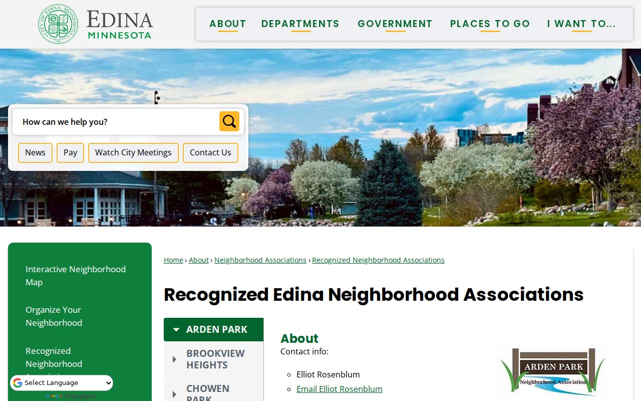
Use an association’s contact and meeting information as a civic lead. The page does not establish who belongs to the association or who lives at any parcel.
The recognized names are Arden Park, Brookview Heights, Chowen Park, Concord, Creek Knoll, Lake Cornelia, Lake Edina, Morningside, Pamela Park, Parkwood Knolls, South Cornelia, Strachauer Park, Sunnyslope, and White Oaks. Lake Edina is listed as established in April 2026, a timely reminder that community layers change and should be checked on the live city page.
Edina Neighbors and Association Scale
Population and estimated-parcel figures help show the scale of several Edina community layers. They are not resident counts, household lists, or proof that a particular address belongs to an association. For a current boundary, use the city’s live association record and map. The figures below are examples published by the city and are most useful as a size check when comparing nearby areas.
| Recognized association | Published population | Estimated parcels |
|---|---|---|
| Brookview Heights | 1,085 | 493 |
| Chowen Park | 1,620 | 713 |
| Lake Cornelia | 1,667 | 654 |
| Parkwood Knolls | 2,429 | 825 |
Recognized association participation is voluntary for qualifying property owners or occupants who are at least 18. Dues are voluntary. The city supports engagement through meeting space, guest speakers, notices, and related programs, but it does not fund the associations. Those facts explain why association contacts are useful community references without becoming a directory of every person on the block.
Note: Published association population and parcel counts are geographic context, not a count of people at a specific address.
Map an Edina Block by Parcel
The adjacent-parcel method starts with one known Edina address and stays close to that block. Use the city service to identify the address point or parcel, then click the polygons that share frontage or a boundary. The map clarifies location. PINS supplies the next record path through its address, PID, addition, and map search modes. Do not skip the PID, because it is more stable than an address when a corner lot or address assignment changes.
- Locate the target address in the Edina GIS service and identify its address point or parcel boundary.
- Click the immediately adjacent parcels and note each returned address or parcel identifier where the service provides one.
- Carry each PID or address into Hennepin County Property Information Search to examine parcel, tax, assessment, sales, and recent-document categories.
- Use the neighborhood, precinct, school, or closest-service layers only as geographic context for the same block.
- For a longer named-street chain, move to the Edina street directory, which follows the address record trail one street at a time.
This process is intentionally narrow. It produces a defensible parcel trail around one address without claiming a map can reveal every occupant on nearby parcels.
Edina Neighbors and Election Context
The individual MNVotes status tool is for a known person and requires first name, last name, full date of birth, and an address path that begins with ZIP or county. It is not a block layer. For address-based civic geography, MyBallotMN returns a polling place, ballot, precinct, districts, and related election information from an address and ZIP.
A registered-voter list follows a different route. Minnesota’s official request form allows a selected geography such as a city or ward or precinct, and it offers several output formats. Only an eligible Minnesota voter may order it, and Minn. Stat. §201.091 limits use. The public-field description does not make it a complete list of people on a block, and Safe at Home locations are not normal public-address results.
Election geography can help distinguish two adjacent Edina blocks that share a postal route. It does not verify a household, a friendship, a mailing address, or a current presence at a parcel.
Past Edina Neighbors in Directories
For a historical block, Hennepin County Library’s digitized Edina city directories cover 1941 through 1977. A directory entry may carry an address, occupation, place of work, and spouse information, but it often centers on a household head and can omit minors or people listed under another household. Search the exact address or street text and test nearby years rather than treating one missing entry as proof that the block was empty.
The HCLIB search tips allow * and ? wildcards, but not as the first character. They do not support Boolean operators or quotation marks. Morningside and neighboring-city collections can provide a useful historical check when an address was outside the present Edina boundary. Historical directories describe past block households only and should never be read as evidence of current occupancy.
Edina Neighbor Tool Differences
Official and commercial neighbor tools work in different ways. Official sources identify the custodian, the record type, and the limits of a result. Commercial tools may combine public indexes, marketing data, and older address associations. A category label is not proof of accuracy. For an Edina block, the safer approach is to preserve the source, date, identifier, and what the record actually says.
| Tool category | Useful for | Limit to keep in view |
|---|---|---|
| Official parcel and GIS records | Address, parcel, PID, and geographic context from named public custodians. | Map layers do not promise owners or occupants; result coverage varies by source. |
| Official election and association sources | Election geography, statutory voter-list route, and civic-boundary context. | Not a block resident list or association member directory. |
| Commercial neighbor tools | Broad, mixed-source address associations. | May be stale, may merge same-name people, and lacks the same custodian record trail. |
When an official map, a county record, and a historical directory disagree, preserve the difference. The records may refer to different dates, mailing addresses, or geographic systems. A partial match should not be converted into a claim about an Edina neighbor.
Edina Neighbors and Jail-Roster Limits
The Hennepin County Sheriff jail roster is an official custody snapshot, not a general neighbor directory. It is updated hourly and can include people currently in jail and people released in the last seven days, along with fields such as charges, bail, and scheduled court dates. The research did not retain a person-level roster entry.
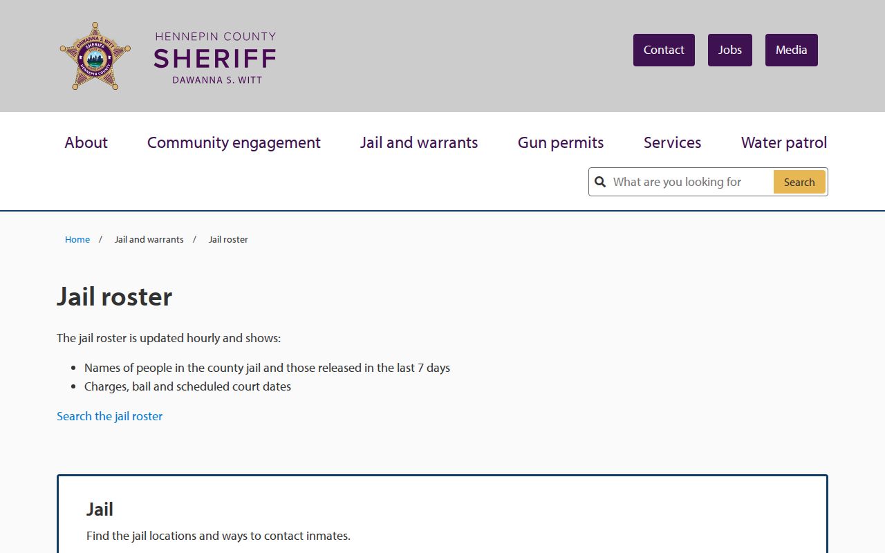
A jail-roster page cannot prove an Edina address, a current home, or a complete criminal or court history. Use the relevant official court record path for filings or dispositions, and never turn a short custody window into a claim about the people on a block.
Privacy Limits for Edina Neighbors
Public status is not permission to assemble a profile of a block. Minnesota records can be public unless classified otherwise, but Safe at Home, sealed or expunged matters, juvenile records, confidential court and vital data, and protected addresses remain restricted. Utility and delivery records are not a public neighbor roll. Neither a parcel result nor a directory entry establishes every person who lives at an address.
Minnesota Safe at Home uses a designated address and mail-forwarding system for qualifying people facing safety risks. Do not reverse-geocode, publish, or try to correct a protected address. When a result appears inconsistent or sensitive, stop and use the custodian’s formal process instead of filling in the gap from other sources.
Note: A source can show parcel or community context without establishing who currently occupies a nearby address.